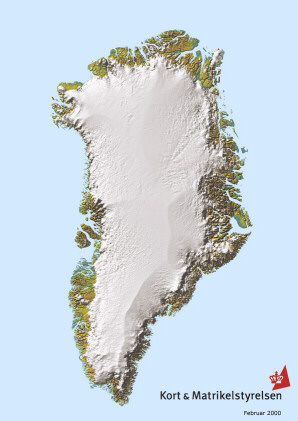
Mass Balance of the Greenland Ice Sheet
using precision GPS measurements

Greenland 3D
The Greenland Ice Sheet contains enough water that if completely melted would raise global sea levels by ~7 meters. While such a scenario seems rather extreme, the societal impacts of even a 1 m rise in sea level due to partial collapse would be devastating. The ice sheet is probably changing size, and therefore altering sea level, as a response to changes in climate and ice flow over the last 10,000 years. Until recently, measuring the magnitude and distribution of these changes has been difficult because of the large size and remote location of the ice sheet. The Program for Arctic Regional Climate Assessment (PARCA) is a NASA-funded initiative directed toward an improved understanding of the mass balance of the Greenland Ice Sheet.

PARCA involves several approaches to measuring ice sheet mass balance, including spaceborne and airborne altimetry as well as ground-based programs.

One approach is to calculate local rates of ice sheet thickness change using precision GPS methods (the so-called "coffee-can" technique). This technique entails comparison of ice vertical velocities, obtained from GPS, with long-term rates of snow accumulation, derived from ice core stratigraphy. Small adjustments must be made to account for the effects of along-slope flow and firn compaction. Calculated rates of thickness change apply to geophysical-length timescales (100-1000s years, the length of the ice core record) and have small uncertainties.

ophysical-length timescales (100-1000s years, the length of the ice core record) and have small uncertainties.