Gordon writes
Nordvestfjord, Scoresby Sund, East Greenland
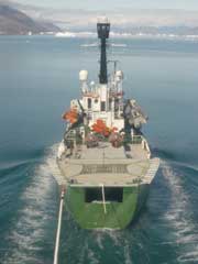
We are now very close to the head of Nordvestfjord, the innermost branch of the Scoresby Sund fjord system. Daugaard Jensen Gletscher and Graah Gletscher, two of our study sites, are about 10 km away. The ship can't travel any farther because of a melange of enormous icebergs and sea ice, so we are currently anchored in a protected ice-free bay.
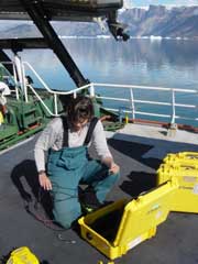
Leigh, Gordon and Hugh began the glacier work after dinner. Fog shrouded most of the inner fjord during the day, but cleared into a spectacular Arctic summer evening. The purpose of the work is to measure velocities very close to the calving fronts of several glaciers using GPS surveys. It involves landing on a crevasse-free platform of ice, drilling in an aluminum stake to serve as a GPS antenna mount, and leave a GPS receiver collecting data. We then fly onto another site and repeat the work. By the time we have installed five sites, we go back to the start and collect the GPS receivers which have recorded for 1-2 hours. We were back on the helideck of the ship by 2:00AM and downloaded our first data from Daugaard Jensen Gletscher.
The trick is finding suitable places for the helicopter to land, and safe enough to work on, among the numerous large crevasses and ice pinnacles. Hughie usually sits nearby with the helicopter running while we work fast to install each site. It takes about 5-10 minutes to drill in each stake and get the GPS receiver running, and only a minute or two to collect the GPS receiver.
On Thursday afternoon, we flew across the glassy calm waters of the fjord to repeat the process on Graah Gletscher. It was more of a challenge finding suitable landing sites here, but we were able to get five markers installed close to the front of the glacier. In the evening, we returned to Daugaard Jensen Gletscher and did a second survey of the markers we had installed the night before. Data from the two GPS surveys conducted a day or so apart allow us to calculate glacier velocities.
Friday's task was to conduct the second surveys of the markers on Graah Gletscher. We have been very fortunate with the weather, meaning we have been able to fly each day. By lunchtime we were done and the Arctic Sunrise left its anchorage.
Wendnesday, June 29-Friday, July 1, 2005


