
Figure 2, Map of Antarctica
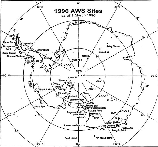
Map of Antarctica showing locations of widely spaced automatic weather stations (AWS) for 1996. The location of AGO sites are included but are not part of the Antarctic AWS program. Taken from Holms, Stearns and Weidner, 1996.
Back to US ITASEFigures